From Yaxha in Guatemala, we continued to the border of Belize by car. The Maya civilization spread across what is now Belize in around 1500 BC, and flourished here until about 900 AD. The main political center in the middle and south of Maya Belize was Caracol, whereas in the north, the most important political center was Lamanai.
After clearing a very simple immigration procedure, we were met by our driver from the Ka’ana Boutique Resort. I very much enjoyed my stay at the Ka’ana. The rooms were spacious and modern, the food was good (especially after a few days in Tikal) with vegetables from their own organic garden, and the staff friendly and helpful. We went to Xunantunich with one of the guides of the hotel and had an informative and pleasant visit.
 Our room at Ka’ana Boutique Resort.
Xunantunich, which translates to “Stone Woman” is a Maya ruin located in western Belize, accessed by a short crossing on the Mopan River on a hand-cranked chain ferry. The site dates back to around the 7th century and was a ceremonial center. The “Stone Woman” refers to the ghost of a woman claimed by several people to inhabit the site, although like most other Maya ruins, the ancient name is unknown.
 The “ferry” used to cross Mopan River.
 The ferry is operated by a hand-cranked chain.

 It is very tranquil here at Xununtunich.


 El Castillo – one of the tallest buildings in Belize.
 The frieze, although a plaster replica, on the eastern and western end of the El Castillo depict a series of Maya dieties and are not often found on Mayan buildings.
 The frieze of El Castillo.
 Do climb to the top of El Castillo to enjoy a panoramic view of the area.
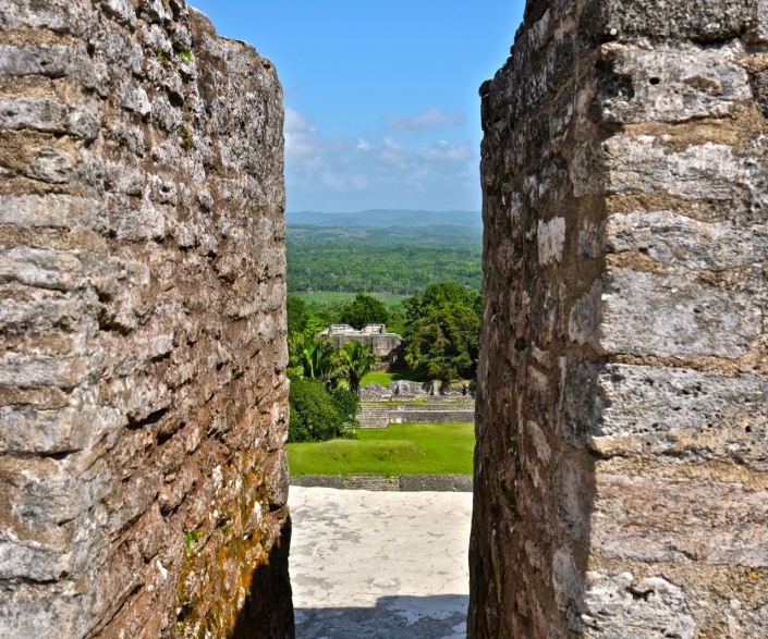
 On our way up
 View from the top of El Castillo.
 The mask with large ears probably represents the sun god. Next to this mask, there is a moon sign with a border of signs representing Venus.

Next, we explored a Maya ceremonial cave, Barton Creek Cave.
Discover more from Beatrice Wong Photography
Subscribe to get the latest posts sent to your email.


